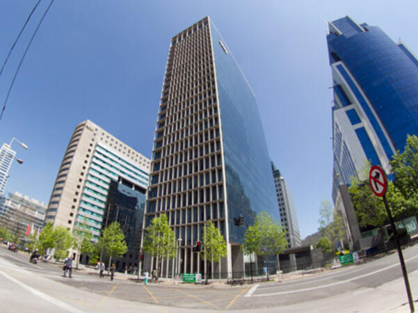
Online or onsite, instructor-led live Pix4D training courses demonstrate through interactive hands-on practice how to analyze image data and create 3D models with Pix4D.
Pix4D training is available as "online live training" or "onsite live training". Online live training (aka "remote live training") is carried out by way of an interactive, remote desktop. Onsite live Pix4D trainings in Santiago can be carried out locally on customer premises or in NobleProg corporate training centers.
The Center occupies the fifth and ninth floors of a modern office block with an attractive, spacious reception area. It has i...
The Center occupies the fifth and ninth floors of a modern office block with an attractive, spacious reception area. It has its own secure underground parking and is protected by 24-hour CCTV. It is just a few minutes' walk from an underground railway station. Arturo Meriono Benitez International Airport is 26km away.
The Santiago Vitacura Center is located on the 15th floor of one of the newest high-rise buildings in the city, situated near...
The Santiago Vitacura Center is located on the 15th floor of one of the newest high-rise buildings in the city, situated near El Bosque, an attractive business and residential district, and adjacent to the Santiago World Trade Center. The Center has its own on-site coffee bar and secure underground parking. There are good public transport connections, and the international airport is 40 minutes away.
This instructor-led, live training in Santiago (online or onsite) is aimed at field ecologists and conservation managers who wish to post-process Pix4D drone data.
By the end of this training, participants will be able to:
Implement Google Earth to enhance UAV mapping .
Use outputs of images to generate reports.
Post-process with GIS and CAD software for advanced drone data modeling.
This instructor-led, live training in Santiago (online or onsite) is aimed at field ecologists and conservation managers who wish to land survey and drone map with Pix4D.
By the end of this training, participants will be able to:
Use end to end drone mapping processes and techniques.
Achieve high surveying accuracy.
Understand the fundamentals of global coordinate systems and GPS.
Generate and analyze survey output with Pix4D's image processing software.
Online Pix4D training in Santiago, Pix4D training courses in Santiago, Weekend Pix4D courses in Santiago, Evening Pix4D training in Santiago, Pix4D instructor-led in Santiago, Evening Pix4D courses in Santiago, Weekend Pix4D training in Santiago, Pix4D classes in Santiago, Pix4D boot camp in Santiago, Online Pix4D training in Santiago, Pix4D instructor in Santiago, Pix4D private courses in Santiago, Pix4D instructor-led in Santiago, Pix4D coaching in Santiago, Pix4D on-site in Santiago, Pix4D one on one training in Santiago, Pix4D trainer in Santiago